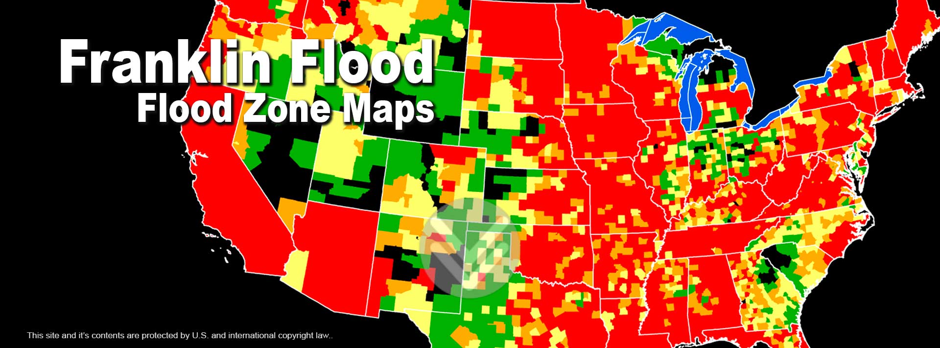
A Flood Zone is a geographical area that is rated to reflect the severity or type of flooding in that area. These areas are indicated on a Flood Insurance Rate Map or a Flood Hazard Boundary Map .
Flood hazard areas on the Flood Insurance Rate Maps are identified as a Special Flood Hazard Area (SFHA). SFHA are defined as the area that will be inundated by the flood event having a 1-percent chance of being equaled or exceeded in any given year. The 1-percent annual chance flood is also referred to as the base flood or 100-year flood.
Special Flood Hazard Areas are Zone A, Zone AO, Zone AH, Zones A1-A30, Zone AE, Zone A99, Zone AR, Zone AR/AE, Zone AR/AO, Zone AR/A1-A30, Zone AR/A, Zone V, Zone VE, and Zones V1-V30.
Moderate flood hazard areas are Zone B or Zone X, areas between the limits of the base flood and the 0.2-percent-annual-chance (or 500-year) flood.
Areas of minimal flood hazard, Zone C or Zone X are areas outside the SFHA and higher than the elevation of the 0.2-percent-annual-chance flood.
Zone A
The flood insurance rate zone that corresponds to the 100-year floodplains that are determined in the Flood Insurance Study by approximate methods. Because detailed hydraulic analyses are not performed for such areas, no Base Flood Elevations or depths are shown within this zone. Mandatory flood insurance purchase requirements apply.
Zones AE and A1-A30
The flood insurance rate zones that correspond to the 100-year floodplains that are determined in the Flood Insurance Study by detailed methods. In most instances, Base Flood Elevations derived from the detailed hydraulic analyses are shown at selected intervals within this zone. Mandatory flood insurance purchase requirements apply
Zone AH
The flood insurance rate zone that corresponds to the areas of 100-year shallow flooding with a constant water-surface elevation (usually areas of ponding) where average depths are between 1 and 3 feet. The BFEs derived from the detailed hydraulic analyses are shown at selected intervals within this zone. Mandatory flood insurance purchase requirements apply.
Zone AO
The flood insurance rate zone that corresponds to the areas of 100-year shallow flooding (usually sheet flow on sloping terrain) where average depths are between 1 and 3 feet. The depth should be averaged along the cross section and then along the direction of flow to determine the extent of the zone. Average flood depths derived from the detailed hydraulic analyses are shown within this zone. In addition, alluvial fan flood hazards are shown as Zone AO on the FIRM. Mandatory flood insurance purchase requirements apply.
Zone AR
The flood insurance rate zone used to depict areas protected from flood hazards by flood control structures, such as a levee, that are being restored. FEMA will consider using the Zone AR designation for a community if the flood protection system has been deemed restorable by a Federal agency in consultation with a local project sponsor; a minimum level of flood protection is still provided to the community by the system; and restoration of the flood protection system is scheduled to begin within a designated time period and in accordance with a progress plan negotiated between the community and FEMA. Mandatory purchase requirements for flood insurance will apply in Zone AR, but the rate will not exceed the rate for unnumbered A zones if the structure is built in compliance with Zone AR floodplain management regulations.
For floodplain management in Zone AR areas, elevation is not required for improvements to existing structures. However, for new construction, the structure must be elevated (or flood proofed for non-residential structures) such that the lowest floor, including basement, is a maximum of 3 feet above the highest adjacent existing grade if the depth of the base flood elevation (BFE) does not exceed 5 feet at the proposed development site. For infill sites, rehabilitation of existing structures, or redevelopment of previously developed areas, there is a 3 foot elevation requirement regardless of the depth of the BFE at the project site.
The Zone AR designation will be removed and the restored flood control system shown as providing protection from the 1% annual chance flood on the NFIP map upon completion of the restoration project and submittal of all the necessary data to FEMA.
Zone A99
The flood insurance rate zone that corresponds to areas of the 100-year floodplain that will be protected by a Federal flood protection system where construction has reached specified statutory milestones. No BFEs or depths are shown within this zone. Mandatory flood insurance purchase requirements apply.
Zone D
The designation on NFIP maps is used for areas where there are possible but undetermined flood hazards. In areas designated as Zone D, no analysis of flood hazards has been conducted. Mandatory flood insurance purchase requirements do not apply, but coverage is available. The flood insurance rates for properties in Zone D are commensurate with the uncertainty of the flood risk.
Zone V
The flood insurance rate zone that corresponds to the 100-year coastal flood plains that have additional hazards associated with storm waves. Because approximate hydraulic analyses are performed for such areas, no BFEs are shown within this zone. Mandatory flood insurance purchase requirements apply.
Zone VE
The flood insurance rate zone that corresponds to the 100-year coastal flood plains that have additional hazards associated with storm waves. BFEs derived from the detailed hydraulic analyses are shown at selected intervals within this zone. Mandatory flood insurance purchase requirements apply.
Zones B, C, and X
The flood insurance rate zones that correspond to areas outside the 100-year floodplains, areas of 100-year sheet flow flooding where average depths are less than 1 foot, areas of 100-year stream flooding where the contributing drainage area is less than 1 square mile, or areas protected from the 100-year flood by levees. No BFEs or depths are shown within this zone.
Call Franklin at 1-888-567-9600 or use our online form to request a quote today!
x
x
Franklin for Agent Toolbox

Flood Insurance is Affordable Again:
The Homeowner Flood Insurance Affordability Act of 2014 (HFIAA), which went into effect July 1, 2014, restores grandfathering and much of the previous affordable rate structure and more reasonable regulations. For the consumer this means that NFIP Flood Insurance is affordable and obtainable again.
For information talk to a licensed Franklin Flood Insurance Agent TODAY

Franklin Flood, LLC, 120 East Uwchlan Ave, Suite 101, Exton, PA 119341 Toll Free 888 567 9600 Fax 610 524 0900


This site and it's contents are protected by United States and International copyright law. Reproduction without permission is prohibited.